Essays on the people, buildings, and events in the conjoined histories of East Lansing and Michigan State University, with a particular interest in the Michigan Agricultural College era (1855–1925), and a timeline of significant events.
Featured Post
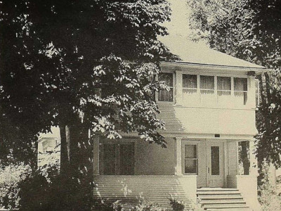
A forgotten East Lansing tragedy
This week in 1911 the small, insular, and tight-knit East Lansing community was shocked by news of embezzlement—and worse—at the Michigan Agricultural College. So shocked, in fact, that the incident was hardly mentioned and swiftly forgotten. Read More. →